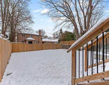
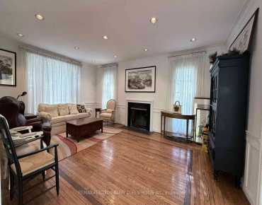
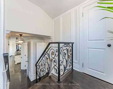
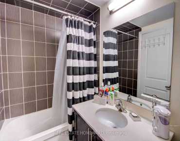
North York

Off Market

Street View

Commute Information

GTA Go Train Oriole Go Train Station (1.1km)

Location


Community Overview

Farmstead is at North East Corner of St. Andrew-Windfields Community. The boundary of the St. Andrew-Windfields community runs from Yonge Street on the west to York Mills Road in the south, East Don River on the east, and highway 401 on the south. Although several main streets, including Yonge Street, Bayview Avenue, Leslie Street, and highway 401, run through or bordering the community, most residential areas are quiet and peaceful, attracting many wealthy families to settle here. The original housing stocks consisted of bungalows, split-level, and 2-story homes sitting on an average 60 feet front and mostly built between the 1960s and early 1970s. In past 3 months, 24 Detached homes were sold at average of $3.09M. Chinese, British Isles origins, English, Canadian, Iranian and Polish are top ethnic origins. Most residents use cars as their primary mode of transportation. Connecting Duncan Mill Road and Sheppard Avenue, Betty Sutherland Trail is a 3.5 km woody and tranquil trail along the east Don River. Andrew-Windfields is mainly a residential community where shoppers can find small shopping plazas along Yonge Street, Bayview Avenue, and Leslie Street. St. Andrew-Windfields is a highly sought-after community in Toronto. Families in this part of North York enjoy a quiet environment, convenient location, and houses with expanded space.


Neighbourhood Houses

69 Farmstead Rd Toronto. To find the price of recently sold homes near my neighbourhood in St. Andrew-Windfields, North York, please contact realtor Alan Zheng (647-877-9311).


Mortgage Calculator

WhatsApp Chat ~